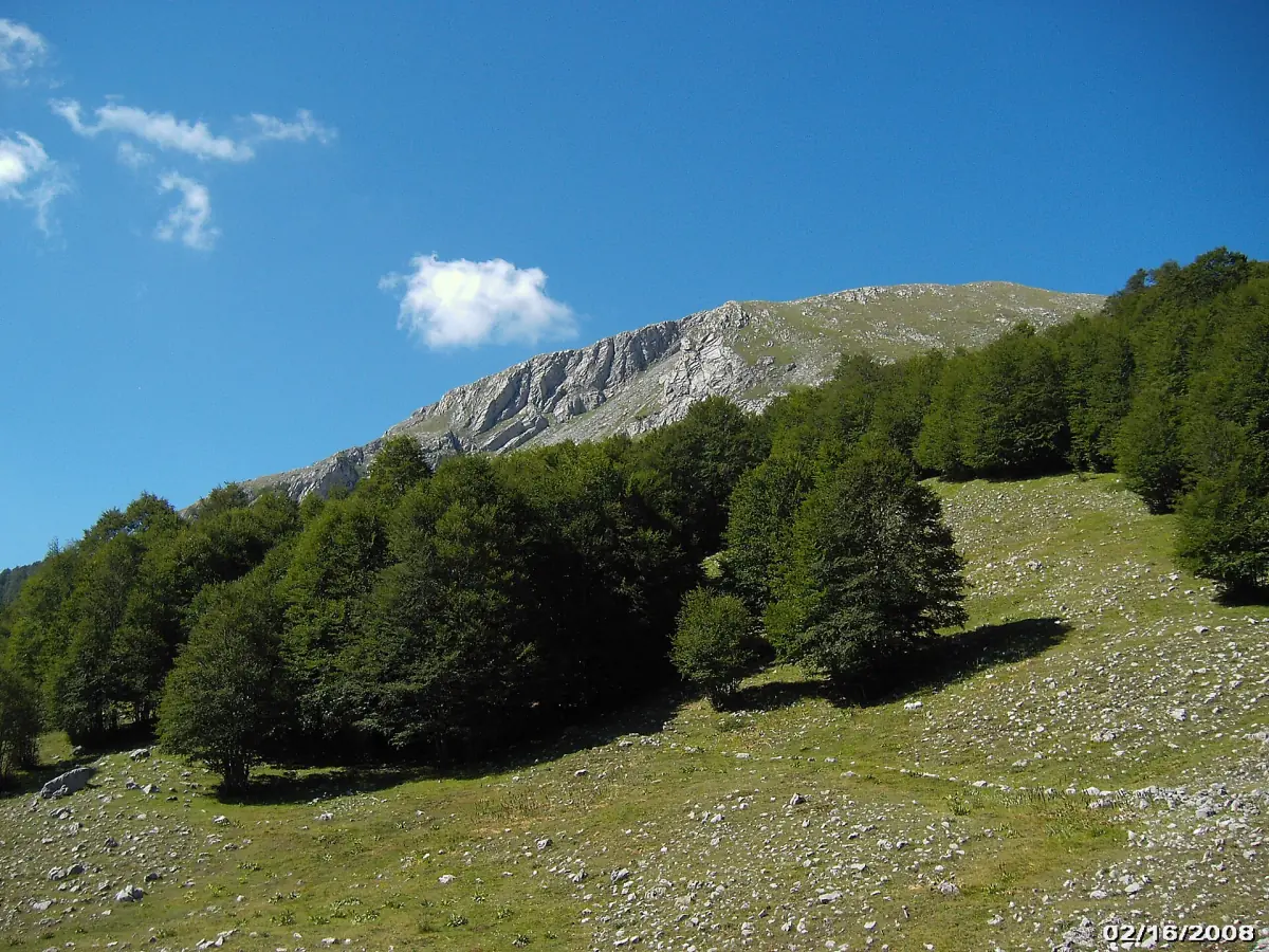
Pollino National Park at a glance
The park lies on both sides of the border between Basilicata and Calabria. It covers 56 municipalities and 192,565 hectares, according to the park authority. Its massifs are Pollino, Orsomarso and Monte Alpi. The park was founded in 1993, and its emblem is the Pino Loricato, a pine that grows at high altitude.
On the Basilicata side, Rotonda is the seat of the park. Walkers start from villages such as Viggianello, Terranova di Pollino and San Severino Lucano. The mountains are a very different trip from Matera or the coast, so give them their own day.
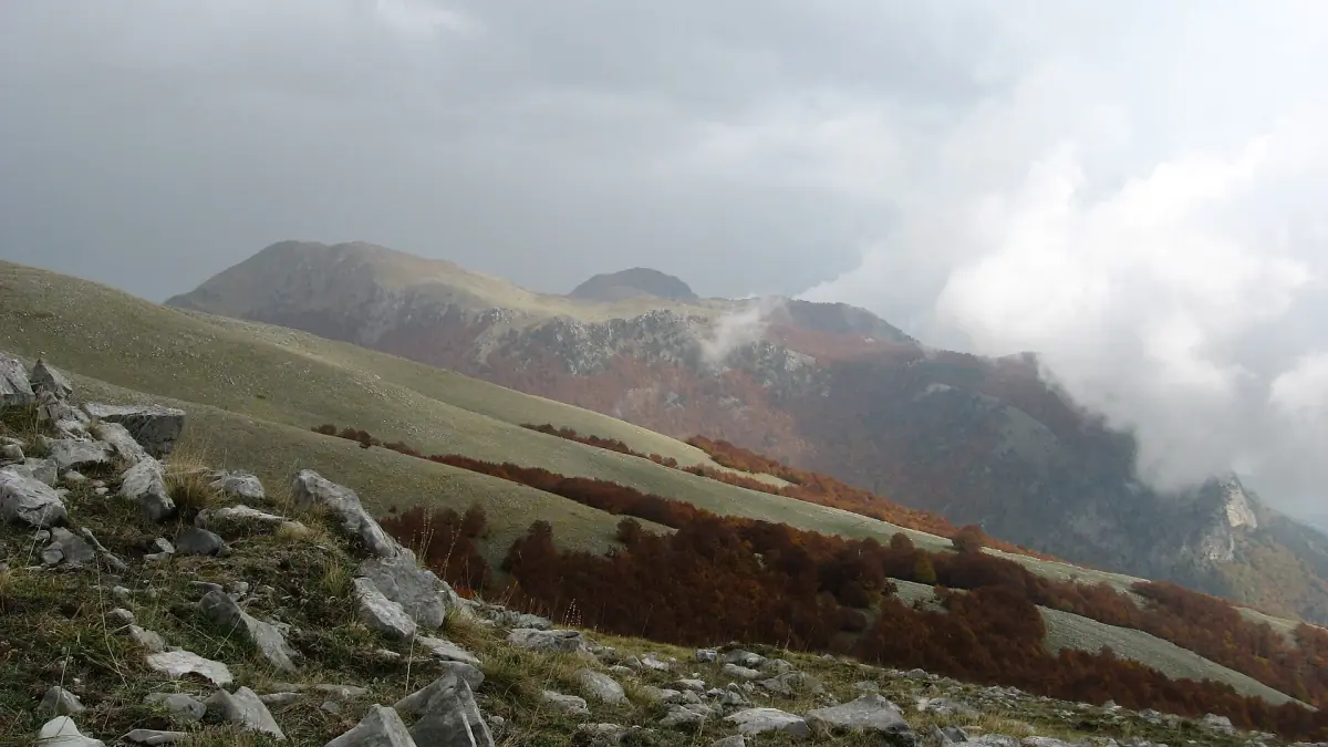
Pollino tours and activities
Guided hikes, nature trips and activities in and around the Pollino mountains, with live prices and availability.
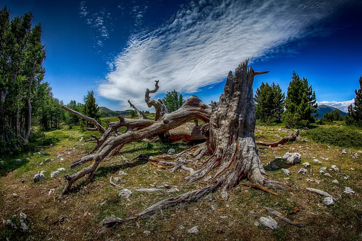
The Pino Loricato
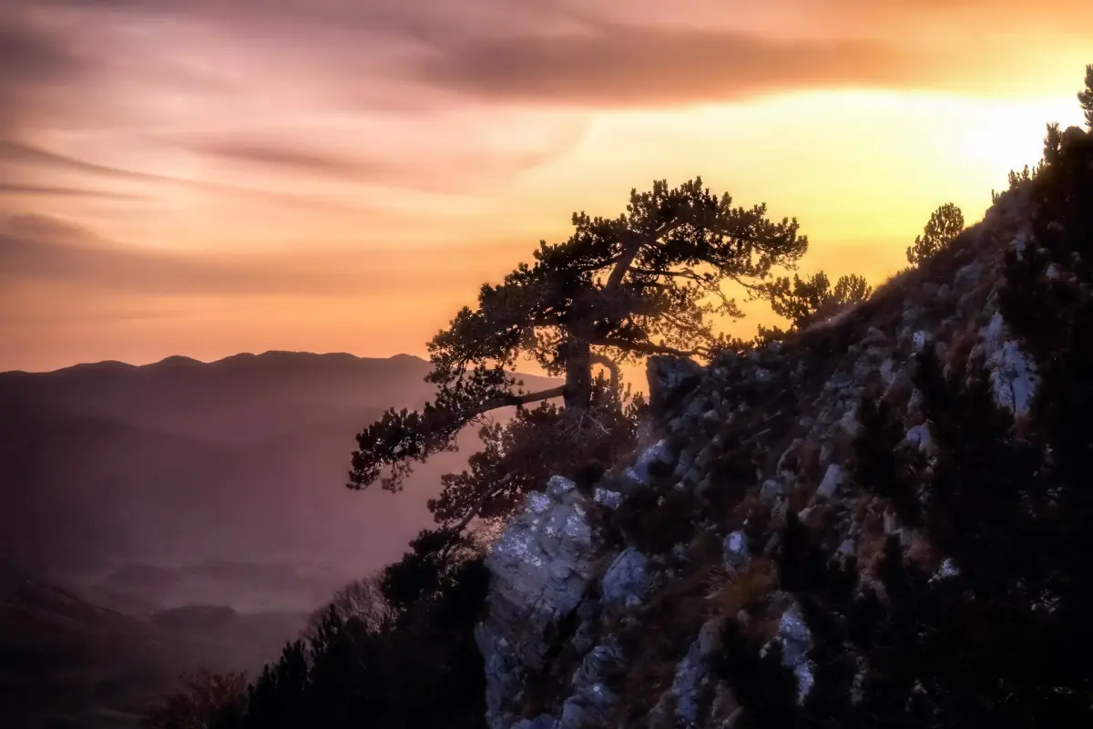
The Pino Loricato is the symbol of the park. It has adapted to the dry, cold conditions of the high ground. As the tree ages, its bark breaks into plates like armor, which is why it is named after the Roman "lorica", a breastplate.
The park uses the name Pinus leucodermis for it and also discusses Pinus heldreichii. Do not rely on age records quoted online, because the park does not give them. If you want to see the trees, expect to go to higher ground on foot.
The park has international recognition, but be precise about what it covers. It has been part of the Global Geoparks network since 2015. The beech forests of Cozzo Ferriero and Pollinello belong to the transnational beech forests World Heritage site, since 2017 and 2021. The whole national park is not a World Heritage site in the way Matera is. See Sassi di Matera for that listing.
Hiking trails in the park catalog
Four routes from the official trail list. Lengths are catalog distances, not walking times.
| Trail | Route | Length | Grade |
|---|---|---|---|
| 931 | Madonna di Pollino to Serra di Crispo | 6,020 m | E |
| 923 | Piano Toscano to Serra delle Ciavole | 6,134 m | EE |
| 921 | Loop: Piano Gaudolino, Monte Pollino, Piani di Pollino, back to Piano Gaudolino | 7,920 m | E |
| 950 | Lago Duglia to Serra di Crispo | 6,314 m | E |
The park uses three grades. T is a tourist walking path, E is a hiking trail without technical difficulty and EE is for experienced hikers. These grades do not tell you whether a trail is free of snow or safe on your day. Check conditions before you set out.
Walking with a guide and walking safely
The park recommends official guides and respectful behavior, and it asks visitors to report dangers and damage. A guide is recommended, not required on every path. Stay on marked trails, take your litter home and do not disturb wildlife.
Mountain weather changes quickly. Bring layers, water and a map, and tell someone your route. Check the weather and the state of the path with the park before you go. Ask the park about entrance fees and camping rules if you plan to stay overnight.
Winter and road conditions
Snow matters on the high roads.
For the winter of 2025/26 the park funded snow clearing and road salt on municipal mountain roads above 1,000 m. That shows that winter conditions are a normal planning factor. It is not a statement about any particular road or an assurance of snow in any village. If you drive in winter, check road status with the municipality and carry chains or winter tires.
For the rest of the year, summer heat is lower in the mountains than on the coast, but the weather still shifts. The park authority itself advises checking trail and weather conditions before you walk.
The Calabrian side
The park does not stop at the regional border.
The same national park continues into Calabria, and some trails start on the other side. For lodging and access on that side, see our Calabria guide. Another high area in the same neighboring region is the Sila plateau.
Choosing a trail
Match the grade to your experience.
Grade E: 931, 921 and 950
These are hiking trails without technical difficulty, of about 6 to 8 km in the catalog. Trail 921 is a loop that includes Monte Pollino, which gives it the most obvious goal of the four.
Grade EE: 923
The route from Piano Toscano to Serra delle Ciavole is for experienced hikers. Take it only if you are used to rougher mountain ground.
No hiking experience
Look at the tours above, where a guide handles the route, or ask the park about T-grade tourist paths.
Start early, because the catalog lengths do not include time at viewpoints. For the villages as bases, see where to stay and our getting there page.
Pollino National Park: frequently asked questions
Where is Pollino National Park?
On the border of Basilicata and Calabria. It covers 56 municipalities and 192,565 hectares. Rotonda, in Basilicata, is the seat of the park.
What is the Pino Loricato?
The park's emblem tree, a pine adapted to dry, cold high ground. Its older bark forms plates like armor, hence the Roman word "lorica".
Is Pollino a UNESCO World Heritage site?
Only parts of it. Two beech forests, Cozzo Ferriero and Pollinello, belong to the transnational beech forests site. The park has also been a Global Geopark since 2015.
Which hiking trails are in the catalog?
For example trails 931, 923, 921 and 950, with lengths of 6 to 8 km. Trail 923 is graded EE, for experienced hikers. The others are graded E.
Do I need a guide?
The park recommends official guides, but a guide is not required on every route.